
Drones or Unmanned Aerial Vehicles (UAVs) have transformed several industries, including property and construction. In fact, construction is expected to be the largest commercial use case for this technology. The main reason for businesses using UAVs is for an affordable drone survey which saves time and money without compromising on quality.
What is a drone survey?
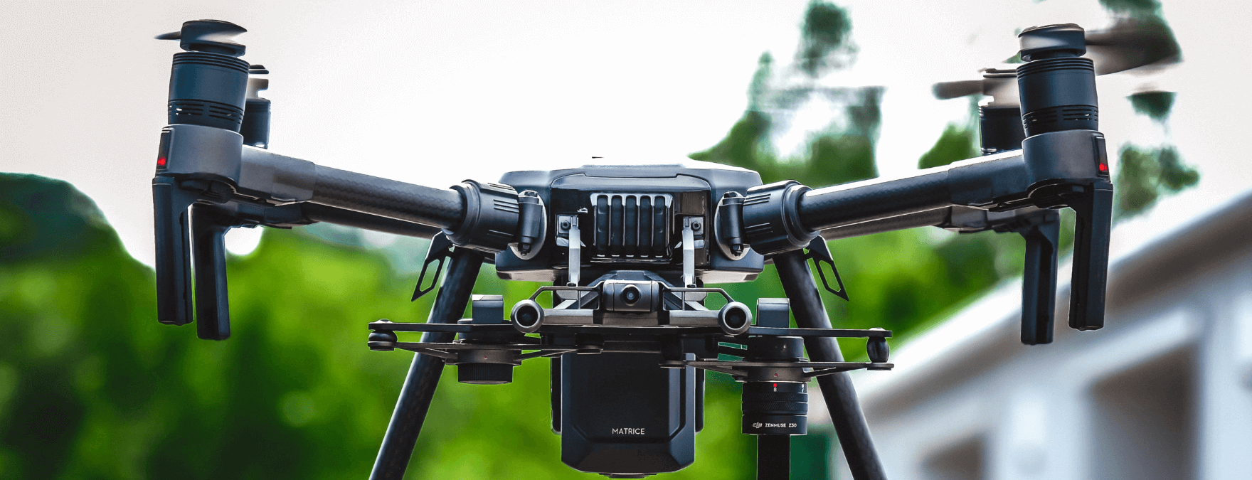
Drone surveying is a process which involves capturing geographic and ground level data using UAVs and downward-facing sensors, including multispectral cameras, LIDAR payloads and RGB cameras.
With this equipment, surveyors and engineers can create incredibly detailed and accurate orthomosaic maps, Digital Terrain Model or DTM maps, and plans which can be used for construction purposes or planning. Drone aerial surveys are incredibly accurate and deliver near real-time data for any site, so professionals can get to work straight away and take advantage of the ROI drone surveys deliver.
An aerial drone survey is an efficient way to survey a property or land site, and it’s understandable why they save time. Drones can fly over sites to collect data and images, and apps or drone platforms can set predetermined routes so drones can scan the path automatically. This data can then be scanned back to be processed into 3D models or 2D drawings for use in design or planning.
Benefits of a roof drone survey
There are several reasons why drone surveys can save time and money. Firstly, if you have an extensive site which needs surveying, a traditional survey can take days or even weeks to complete. Similarly, if multiple surveys need to be completed, it can take even longer. But a drone survey can be carried out much quicker and requires less manpower. Drones can collect the same amount of data up to 5 times faster than land-based surveying, which is a huge time saver for businesses.
A drone survey is safer and perfect for areas where access issues are a problem, which cuts down on the time needed for the data to be gathered. In some cases, it can even make it possible for data to be collected which wouldn’t be possible if the survey was being carried out manually. Drones can be used in tandem with traditional methods too, to enhance productivity and efficiency, such as with derelict buildings which would be unsafe for workers to access.
Drone survey costs are an efficient use of budgets, since it’s a single tool with multiple capabilities. In surveying, there are numerous applications that can be used for different purposes which manual surveying can’t match. From CGI to accessing a roof, drone surveys hit countless data points with one device which saves time and money in one go. What would take several hours with a traditional survey can be completed in around 20 minutes with a drone survey, with the latter collecting far more data points.
Surveys which take place in remote areas can be dangerous, but they can also be time-consuming, since so much additional care needs to be taken to keep staff safe and protected. Drone equipment cuts this time down considerably. For example, the time required for a ground-based team to move equipment and staff along oil and gas pipeline tracks is extensive, taking weeks in some cases.
But a UAV can move along pipelines in a fraction of the time, reducing human resource and equipment costs and delivering more accurate data in the process. A drone-based survey can be carried out quicker with a small team or even just the pilot in some cases, which means less labour costs and reduced need for the likes of medical insurance and other expenses.
Final thoughts
Drones collect data for a site with a degree of accuracy that can’t be matched, while taking less time and requiring less manpower too. They provide centimetre-level accuracy and businesses don’t need to worry about having to pay for large teams and multiple items of equipment to gather this data. They can often complete the same survey with a single pilot and one piece of equipment, significantly reducing labour costs, equipment costs and time needed to gather information.
The data a drone survey brings in can be transformed into 3D models, maps and volumetric measurements up to 10 times faster than a traditional survey which saves significant time and, as a result, also cuts costs for businesses too. It’s a cost-saving measure which doesn’t result in less data. In fact, the data gathered by a UAV survey is far more comprehensive and accurate than a https://www.dronevolution.co.uk/services/#Ground_Surveysland-based survey.