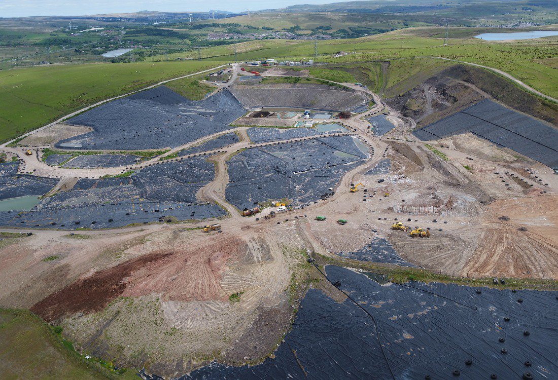
Topographical surveys have long been a key cornerstone of construction and land development projects. Before any ground can be broken, it is essential to understand the lay of the land and how the relief and geographical features might impact the build process and costs.
A traditional topographical survey would have involved teams of surveyors meticulously working across the terrain, mapping out elevation and contour data. The results were as accurate as they could be thanks to the skill and experience of the surveyors, but the data was limited and subject to some inaccuracies. However, the landscape of topographical surveys is changing. It’s taking to the air in the form of drones, which can offer an unprecedented level of speed, data accuracy and cost-efficiency. Let’s take a closer look at some of the benefits of using drones for a topographic survey.

Speed And Efficiency
Traditional surveying would generally require a multi-member team working across days or even weeks, depending on the site in question. As an example, a two-person team could easily spend a week mapping out a moderately-sized site without any complications. A drone is capable of carrying out the same survey in just a few hours. But the key fact here is that there is no drop-off in the accuracy of this increased speed. In fact, with GPS-enabled systems, high-resolution cameras and photogrammetry software, it is possible to get even more accurate and consistent results.
Enhanced Safety
Surveying has always come with inherent risks, which are magnified if the terrain is complex or when weather conditions are more challenging. Unstable ground, high elevations or construction areas also come with high levels of risk. But drones eliminate almost all of these hazards, being able to fly safely above even the most dangerous terrain and all operated from a safe distance. Drones also remove the need for scaffolding equipment, rope access and temporary road closures, among other costly and time-consuming disruptions.
Minimal Disruption
It’s worth further emphasising this point. One of the major benefits of drone surveying is how non-intrusive it is. There are no ground markers required, no lengthy equipment setups or closures. Aerial topographic surveys with drones are all carried out from above with no impact on the ground. This is even more suited to environmentally sensitive areas where disruption needs to be kept to a minimum. Moreover, the lack of disruption significantly reduces costs, both directly through decreased materials and labour, and indirectly by optimising project timelines. That means time and money spent carrying out a traditional survey can now be redirected to other areas of the project.
Drones are no longer just novelty gadgets, they are highly accurate and sensitive tools that are changing the way we approach surveying and impacting a wide range of businesses across the UK.
Discover more on the different uses of drones across various industries, including the further benefits of a drone topographic survey, by getting in touch with our experienced team here at Drone Evolution today by clicking here.