
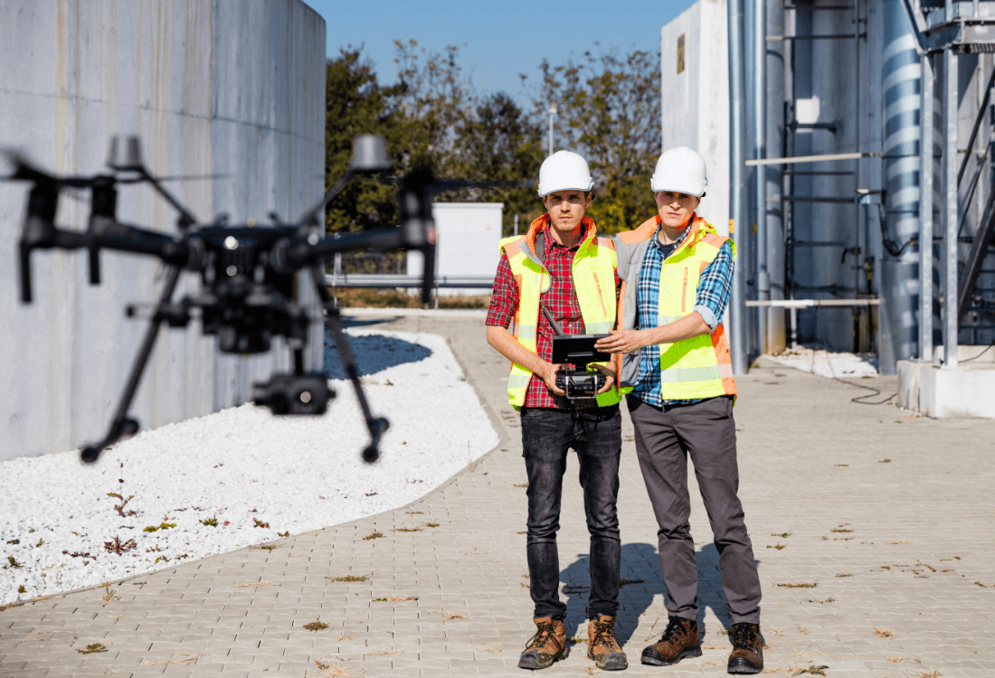
Imagine receiving precise and detailed aerial information about your site without the need to erect scaffolding or send staff to hazardous heights. Then imagine you also don’t need to wait weeks for traditional surveyors to get back to you with the data. Drone surveys deliver all that and more, straight to your digital devices and all within a fraction of the time of more traditional methods.

Let’s take a closer look at drone surveys, assessing how they work, how they have evolved and what potential benefits they could bring.
The shift in surveying methods
- Time‑consuming: Putting up and taking down scaffolding, as well as arranging specialist teams can take days or weeks.
- High risk: Surveys at height pose serious risks to operatives, leading to falls and injuries. The HSE lists working at height as one of the leading causes of workplace fatalities in the UK.
- Expensive: Scaffolding, cherry-pickers and skilled operators come with a hefty price tag and can easily eat into profit margins.
However, clients within the industry are demanding more accurate data in less time. So, it has felt a bit like being squeezed from all angles, until the evolution of drone technology came along and provided an effective solution to all of the above challenges. Drone surveys have met the demands head-on by delivering high-quality, real-time data to clients. And it has done so in a rapid, safe and cost-effective manner.
What are drone surveys?
- Topographic surveys: Mapping terrain, elevations and the dimensions of any site.
- Building inspections: Façade, roofs, chimney stacks and other aerial surveys that have previously required scaffolding.
- 3D modelling: Creating accurate digital representations for CAD or BIM.
- Thermal imaging: Highlighting heat loss, leaks or moisture infiltration.
- Volumetric measurements: Tracking spoil heaps, stockpiles and other large volumes of materials.
Advanced drones deliver high-level, accurate information that is suitable for surveying standards, including point clouds, georeferenced imagery and 3D models. These can be integrated directly into professional CAD platforms to facilitate timely and cost-effective progress across multiple types of project.
Why principal contractors should care
As a principal contractor, you know that there is a lot of responsibility on the decisions you make early on in the process. If these are based on inaccurate or incomplete data then it can lead to costly bottlenecks and downtime later on in the timeline. That’s why it is essential to get detailed and reliable information early on. In addition, it is also your responsibility to meet regulatory requirements and ensure safe and legal working conditions on site at all times. Here are some very good reasons why using drone technology can help:
HSE risk reduction
Using drones, there is no need to send operatives to roofs or elevated scaffolding. Drones conduct these inspections remotely, reducing exposure to fall risks and ensuring CDM 2015 compliance in health and safety.
Real-time monitoring
Overhead footage and 3D models give you instant updates on progress, logistics and layout. This more immediate insight means faster adjustments and fewer delays.
Accurate progress tracking
Forget spending hours poring over spreadsheets. Drone data provides precise measurements that update continuously and reliably.
Faster decision making
Quicker data capture allows you to make better informed and faster decisions. Whether you’re reordering materials or adjusting timelines, you stay informed and agile at all times.
Logistics and planning
Spot and prevent bottlenecks with the benefit of a detailed aerial view. By using modelling and images of your site from above, you have a more in-depth understanding of traffic and storage issues, road entry and exits and plenty more besides. This allows you to take pre-emptive action and make adjustments to keep the site moving efficiently.
CDM compliance
Under CDM 2015, principal contractors must plan, monitor and manage all health and safety aspects of the construction phase. Drones can help to achieve this, enabling risk assessments and control measures to be documented and updated.
Benefits for building surveyors
- Safe access to high, fragile or unsafe areas without the need for scaffolding.
- Inspect entire buildings in hours instead of days.
- Thermal imaging to detect leaks and insulation faults that may not be visible to the naked eye.
- 3D maps, HD imagery and thermal overlays enhance clarity and decision-making.
- RICS compliance through detailed evidence and repeatable surveying
Use case examples
It’s worth taking a more in-depth look at how drones can operate and enhance various types of industrial and commercial operations, with a few key examples of how they can support more efficient working in each case.
Construction projects
- Spoil heap volume checks: Get accurate measurements in hours with data ready for billing or accounting.
- Progress monitoring: Weekly drone flyovers track milestones and are all backed by visual evidence.
- Housing associations: Organisations that manage or build multiple projects can make substantial time and cost savings.
- Roof surveys: Avoid disruption and the expense of scaffolding, with drones capable of carrying out inspections in a fraction of the time.
Telecoms and masts
- Tower inspections: Inspect assets safely and efficiently, without the need for climbing teams.
- Bridge/façade checks: Drones survey ageing infrastructure faster and cheaper than MEWP hire or similar.
Facilities management
- Routine inspections: Document trends and conditions through monthly or quarterly asset monitoring.
- Local authorities: Organisations who own multiple assets can make substantial savings.
These practical examples show how drone surveys can enhance efficiency and compliance across a range of settings.
Time and cost efficiency
- Capital: No scaffolding rental or high-altitude boom-lift costs.
- Labour: Fewer hours on site and less specialised manpower required.
- Disruption: Minimal interference with trades, tenants or the public.
- Insurance and liability: Remote operation leads to reduced premiums and risk.
- Speed: Measurements can be done in hours, not days.
Drone surveying can reduce field time at a significant scale, leading to huge potential savings in both time and costs.
Addressing common objections
As with any new technology, there are always some common objections and challenges to adoption. Here are some of the most common we have heard over the years at Drone Evolution.
“We already use scaffolding or have in-house teams”
Drones don’t replace these in-house teams, they augment them. Drones can handle the more risky and repetitive tasks, freeing teams for the more skilled and essential work.
“Our site is too complex for drones”
Modern drones use a range of GPS-denied navigation and obstacle avoidance sensors, meaning they can create precise and accurate flight plans around congested or multi-storey sites. They can even work around cranes and other machinery.
“We’ve never used drones before”
There’s a first time for everything. Here at Drone Evolution, we can offer a free demonstration, easy onboarding and full training to get you up to speed.
Compliance and CDM integration
- Pre-construction: Visual site data needs to inform and highlight design risks.
- During works: Site logs, progress tracking and hazard identification needs to be documented through aerial records.
- Post-construction: Resolved issues need to be documented using before/after comparison models.
Why Drone Evolution?
Drones have gone way beyond gimmicks and are now about raising standards, reducing risk and delivering better outcomes. Contact Drone Evolution today for your free demonstration and step into the future of construction surveying.
